How Accurate are Modern Surveying Tools?
The importance of surveying accuracy in construction cannot be over-emphasised. Errors at the measured building survey stage can have a knock-on effect down the line, leading to overrunning project schedules and all the issues that go with it, as well as compliance and planning problems, budget overspends and reputation damage.
And this is why the question, how accurate are modern surveying tools, is so commonly discussed.
What are ‘modern surveying tools’?
When we talk about the accuracy of ‘modern surveying tools’, we are in essence comparing the traditional method of manual measuring and hand sketching with modern 3D laser scanning.
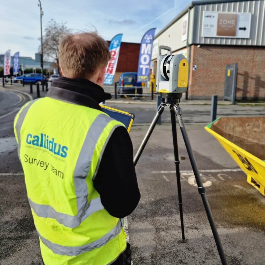
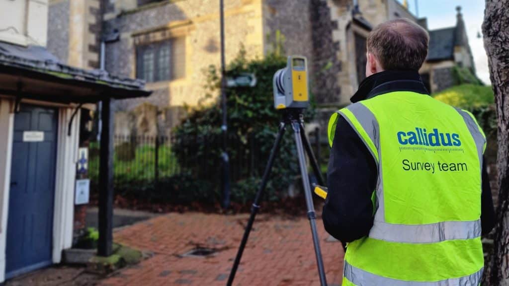
3D laser scanning makes it possible for a surveyor to collect large amounts of highly detailed data in a short space of time.
Using high-definition LIDAR (Light, Imaging, Detection and Ranging) technology, a 3D laser scan captures millions of single points to form a precise point-cloud model of a structure. By taking a series of individual scans, we gather detailed data, which is then ‘registered’ (stitched together) to create a coherent point-cloud.
This gives us the basis to produce everything from 2D plans to cross sections and elevations, as well as being able to model the external and internal features of any structure in 3D, with great precision.
Of course, it is easy to use terms such as ‘highly detailed’ and ‘great precision’. But exactly how accurate are modern surveying tools, and more to the point, how much accuracy is actually needed?
How accurate are modern surveying tools?
A laser scanner is able to record individual points to within 0.3mm accuracy, according to manufacturer figures.
However, what you need to bear in mind is that the accuracy of the final registered point-cloud will inevitably be less than the quoted technical capability.
This is because there are many factors that can affect the accuracy of a 3D laser scan, such as surface material, environmental conditions and ground stability. Anything that relies on sending and receiving a laser beam is always going to be subject to variation.
Another question to ask when looking at how accurate modern surveying tools are has to be, how much accuracy do you need? Is there a requirement in the commercial sphere for accuracy greater than what we are currently achieving with today’s 3D laser scanning?
What we should perhaps be exploring instead is what affects the level of accuracy that can be achieved by modern surveying tools.
What affects the level of accuracy achieved by modern surveying tools?
This is a valid question, because you could quite easily have two surveys taken at the same site using identical equipment, but each could present varying levels of accuracy.
The reason for this disparity lies in the skill and experience of the surveyor, both on and offsite.
Choosing the most appropriate scanner settings, onsite scanning locations and point-cloud registration method all play an important role. What’s more, the accuracy of the point-cloud comes down to how well the surveyor understands the process of registering the individual scans together.
In other words, how accurate are modern surveying tools is one thing, but the accuracy of the point-cloud they produce ultimately depends on quality of human input.
Take a well-registered point-cloud compared to a substandard one. The former could have a quoted error of just a few millimetres. But the latter could be looking at an error of 20 or 30mm, or even more.
This is why the construction industry knowledge that an experienced surveyor brings to the table is invaluable when preparing drawings and interpreting data.
A surveyor with a deep understanding of construction practices can identify critical structural elements and potential problem areas that might be missed by less knowledgeable operators.
This expertise ensures that the drawings produced are not only accurate, but also practical and useful for construction planning and implementation. By applying their industry-specific insights, skilled surveyors can foresee issues that could affect the construction process, such as misalignments or structural weaknesses, allowing for proactive solutions.
This blend of technical precision and practical know-how significantly enhances the reliability and utility of the survey data, ultimately contributing to more successful project outcomes.
So, in summary, we can by all means look at how accurate modern surveying tools are. But more to the point, how skilled are the surveyors operating them?
Callidus Surveys: Accurate 3D Laser Scanning Based on Decades of Experience
At Callidus Surveys, we’ve invested in the highest specification 3D scanning equipment and software. Combined with our decades of experience, and our hand—picked team comprising some of the UK’s best-in-class laser surveyors with unrivalled construction knowledge, this allows us to deliver highly accurate surveys, with a rapid turnaround.
Our clients benefit from our unique ‘whole building’ approach, which ensures that all surveyed structures are presented as a real life view, rather than a series of independent drawings.
To book a 3D laser survey, simply send us your specification and we’ll respond with a quote, and the answers to any questions you may have.